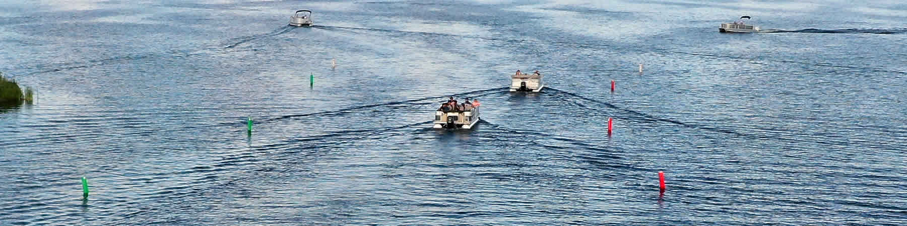
Detroit Lakes, including Big and Little Detroit and Curfman or Deadshot Bay) are located in Becker County, Minnesota, mostly within the City of Detroit Lakes, but with a small part in Lakeview Township. The Detroit Lakes were formed by glacial action more than 10,000 years ago. Called “ice-block lakes”, they were formed by large chunks of ice being buried in gravel and sand, then subsequently melting to form basins filled with water. In geological time, such lakes have a "short" lifespan; their life cycle is characterized by sedimentation and eutrophication (increased fertility) as they age.
The three main basins which define Detroit Lakes vary considerably in size and other important attributes.
|
|
Big Detroit |
Little Detroit |
Curfman |
|
Area |
2076 acres |
941 acres |
111 acres |
|
Shoreline length |
7.7 miles |
4.8 miles |
1.7 miles |
|
“Mean“ elevation (above sea level) |
1434.5 feet |
1434.5 feet |
1434.5 feet |
|
“Ordinary high water level” |
1334.3 feet |
1334.3 feet |
1334.3 feet |
|
Fetch (max. distance in one direction) |
13,140 feet |
9,620 feet |
3,200 feet |
|
Maximum depth |
82 feet |
16 feet |
21 feet |
|
Average Depth |
18 feet |
8.5 feet |
11.4 feet |
|
Volume |
37,589 acre feet |
8,003 acre feet |
1,309 acre feet |
|
% of lake area below 15‘ (littoral area) |
40% |
90% |
58% |
|
Observed max plant depth |
15 feet |
16 feet |
16 feet |
|
Inlets |
3 |
1 |
0 |
|
Outlets |
1 |
1 |
1 |
|
Minnesota Ecological Zone Classification |
Northern Hardwood Forest |
Northern Hardwood Forest |
Northern Hardwood Forest |
|
Physical Classification |
Summer and winter stratified |
Weak to no stratification |
Weak to no stratification |
|
Main water source |
stream |
Big Detroit |
Groundwater |
|
Trophic Classification |
Mesotrophic |
Mesotrophic |
Mesotrophic |
|
Zoning Classification |
General Development |
General Development |
General Development |
While activities along the shorelines of Detroit Lakes have important impacts on the lake, its future is closely related to what goes on in the areas that drain into the lake. The watershed of Detroit Lake is fairly large, comprising about 25,000 acres, including the lake itself. Though it is adjacent to the City of Detroit Lakes, urban land uses comprise only about 8% of the total watershed acreage. Indeed, equal portions are in forest and cultivation, comprising about 75% of the total area. The remainder is largely wetland or drained wetland.
Detroit’s watershed also is hilly, with about 40% of the area classified as having steep slopes (more than 15%). The lake itself is at about 1335 above sea level. Areas to the north are mostly less than 100 feet above that, but within two miles to the north east is Detroit Mountain which is almost 300 feet higher than the lake.